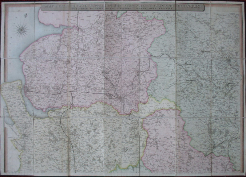
Map of the Grand Junction Railway and Adjacent Country 1836


Book Description
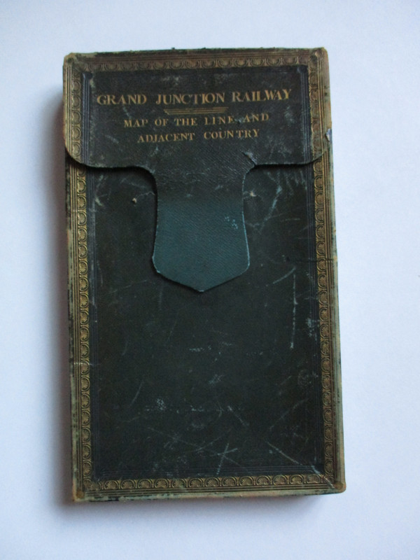
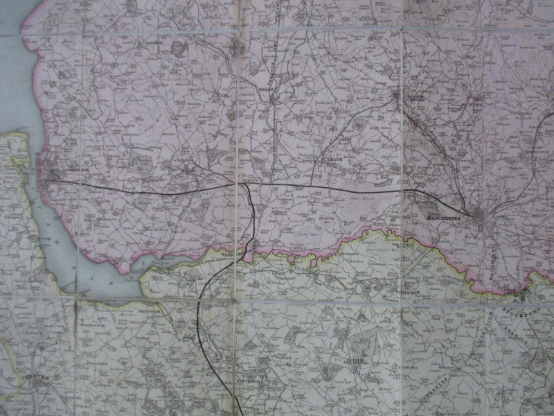
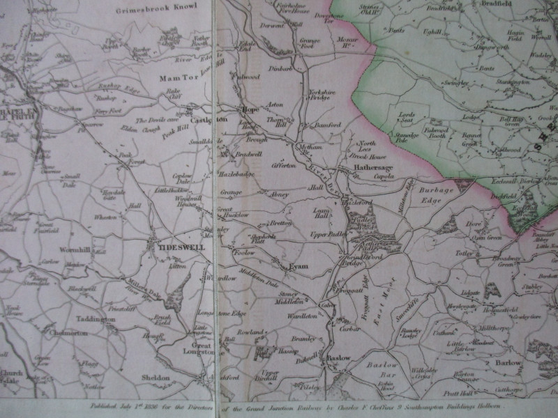
Map of the Grand Junction Railway and Adjacent Country published for the Directors and Joseph Locke Engineer by Cheffins, London, July 1st 1836. On folding linen in 21 sections, size 101 by 72 cm. with a piano key style border and a compass rose. Hand coloured. Folds into original leather slipcase. Covers an area from Preston across the Pennines to Keighley and Otley and in the south from Holt, Sandbach and Congleton across to Dronfield near Sheffield. The map is in VG to Fine condition with some rubbing to the case
Author
Cheffins
Date
1836
Binding
Folds into slipcase
Publisher
Cheffins
Condition
VG
Friends of the PBFA
For £10 get free entry to our fairs, updates from the PBFA and more.
Please email info@pbfa.org for more information
