Nouveau Plan de Paris

Book Description
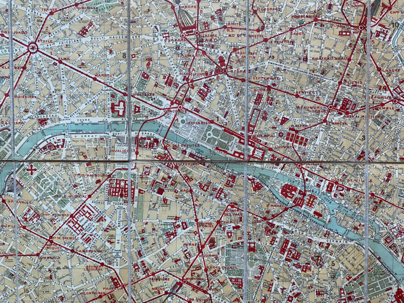
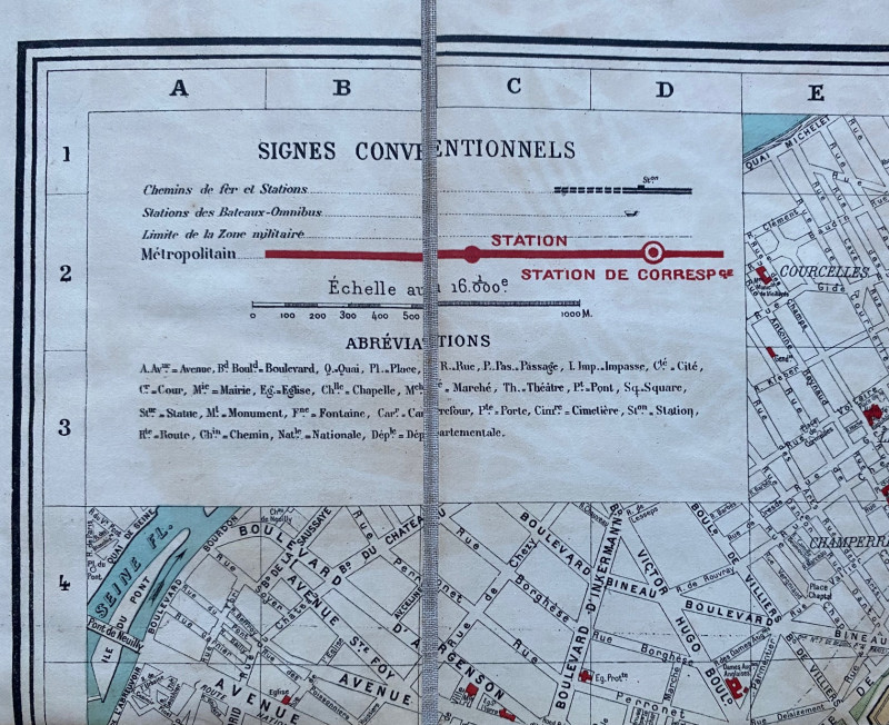
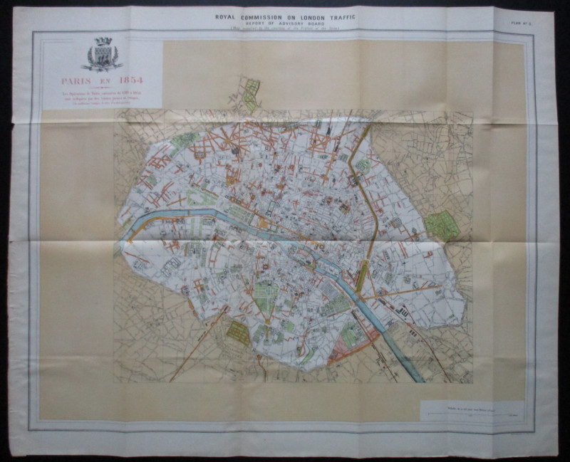
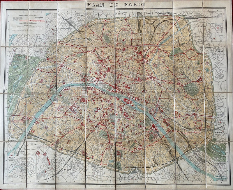
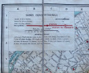
Nouveau Plan de Paris published by Hachette, Paris circa 1900. On folding linen in 32 sections, size 85 by 69 cm. Scale 1:16,000. Colour. Folds into stiff boards size 18 by 11.5 cm with a gold-stamped title to the front. The map has a key to railway lines and stations; omnibus routes and stations; the limit of what is termed the zone militaire (with the ring of fortifications around the inner suburbs clearly shown); avenues; boulevards; streets; passages; impasses; churches and chapels; markets; theatres; bridges; statues; monuments; fountains; gates; cemeteries and verious categories of road. Includes a small inset map of the arrondissements and quartiers. Bound in with the map is a 64-page index and an appendix with information on postal services, police, metro stations, omnibus services, foreign embassies and consulates etc. A detailed map in VG condition.
Author
Hachette
Date
1900
Binding
Folds into stiff boards
Publisher
Hachette
Condition
VG
Pages
64
Friends of the PBFA
For £10 get free entry to our fairs, updates from the PBFA and more.
Please email info@pbfa.org for more information
