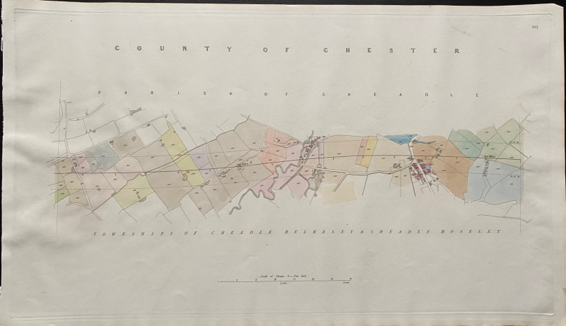
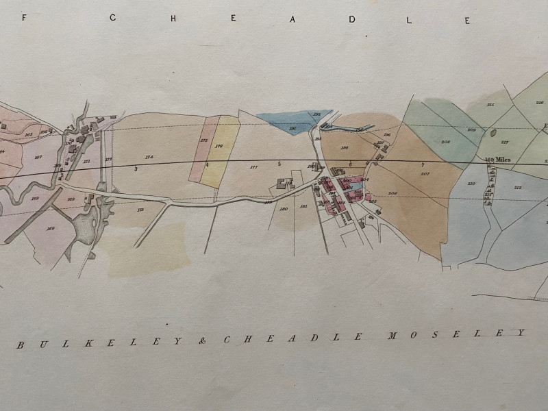
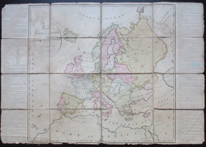
Map of the Parish of Cheadle with Townships of Cheadle Berkeley and Cheadle Moseley 1845

Book Description
Map of the Parish of Cheadle with Townships of Cheadle Berkeley and Cheadle Moseley and continuation to the County of Lancaster. Includes individual houses, roads, a river and what might be a canal basin. One of a series of plans and sections for a railway from London to Manchester by Rennie, Rastrick and Remington printed and published by Arrowsmith 1845. On a scale of 6 chains to the inch or 14 inches to the mile on stiff paper size 73 by 43 cm. With original hand-colouring. A detailed map on a large scale and a fascinating example of early Victorian railway planning. VG condition.
Author
Rennie
Date
1845
Publisher
Arrowsmith
Condition
VG
Other books
If you liked the book you've just seen, you might be interested in other books from the same dealer below.
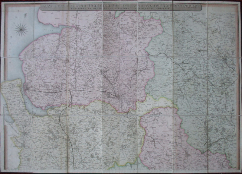
Map of the Grand Junction Railway and Adjacent Cou...
Cheffins
Cheffins
£350.00
Offered by Arthur Hook
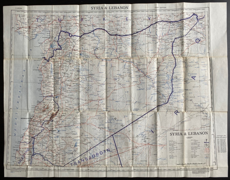
OS War Office Map of Syria and Lebanon 1942
British War Office
British War Office
£30.00
Offered by Arthur Hook
Friends of the PBFA
For £10 get free entry to our fairs, updates from the PBFA and more.
Please email info@pbfa.org for more information