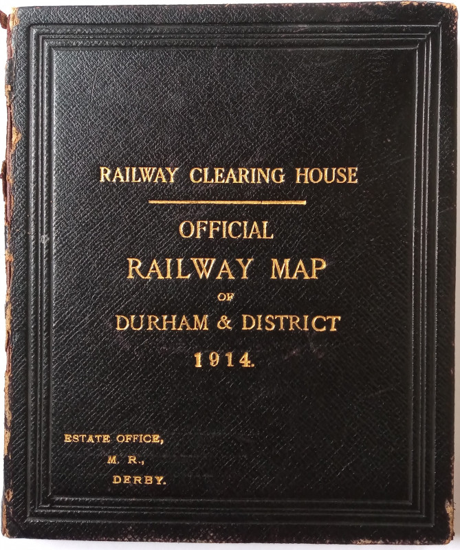
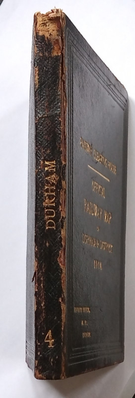
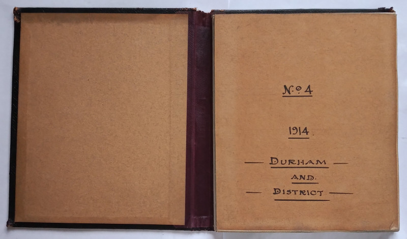
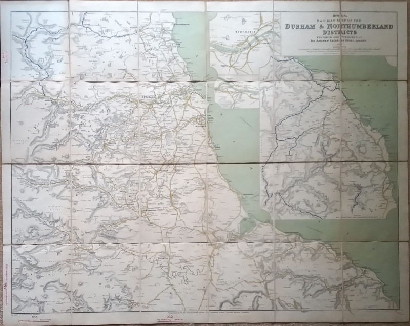
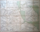
Official Railway Map of the Durham & Northumberland Districts

Book Description
Other books
If you liked the book you've just seen, you might be interested in other books from the same dealer below.
A Catechism of the Steam Engine in its Various App...
John Bourne
Longmans, Green & Co, new edition
£40.00
Offered by The Book House
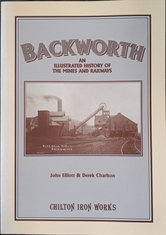
Backworth - An Illustrated History of the Mines an...
John Elliott & Derek Charlton
Chilton Iron Works
£20.00
Offered by The Book House
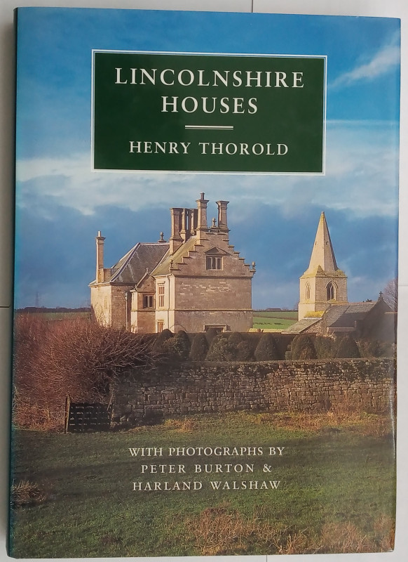
Lincolnshire Houses
Thorold, Henry:
Michael Russell (Publishing) Ltd, Wilby Hall, Wilby, Norwich
£18.00
Offered by The Book House
A History of the Ribble Navigation from Preston to...
Barron, James:
Corporation of Preston
£140.00
Offered by The Book House
The Life and Death of a Quicksilver Mine
Helen Rocca Goss
The Historical Society of Southern California
£25.00
Offered by The Book House
The Websters of Kendal - A North-Western Architect...
Angus Taylor, edited by Janet Martin
Cumberland & Westmorland Antiquarian & Archaeological Society
£45.00
Offered by The Book House
A North Lancashire Railway Album - from the camera...
Leslie R. Gilpin
Cumbrian Railways Association
£15.00
Offered by The Book House
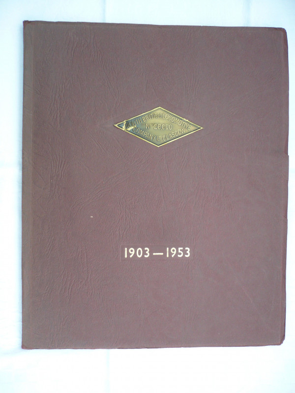
A History of the North British Locomotive Co. Ltd.
North British Locomotive Co. Ltd>
1953
£40.00
Offered by The Book House
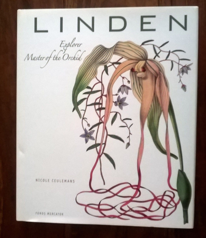
Jean Linden, Explorer, Master of the Orchid.
Ceulemans, Nicole
Fonds Mercator
£20.00
Offered by The Book House
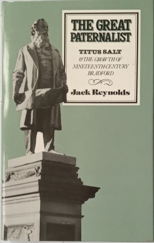
The Great Paternalist - The Growth of Nineteenth C...
Reynolds, Jack:
Temple Smith
£10.00
Offered by The Book House
Friends of the PBFA
Please email info@pbfa.org for more information