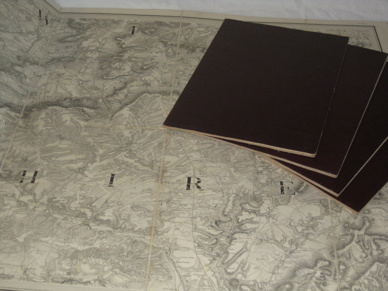
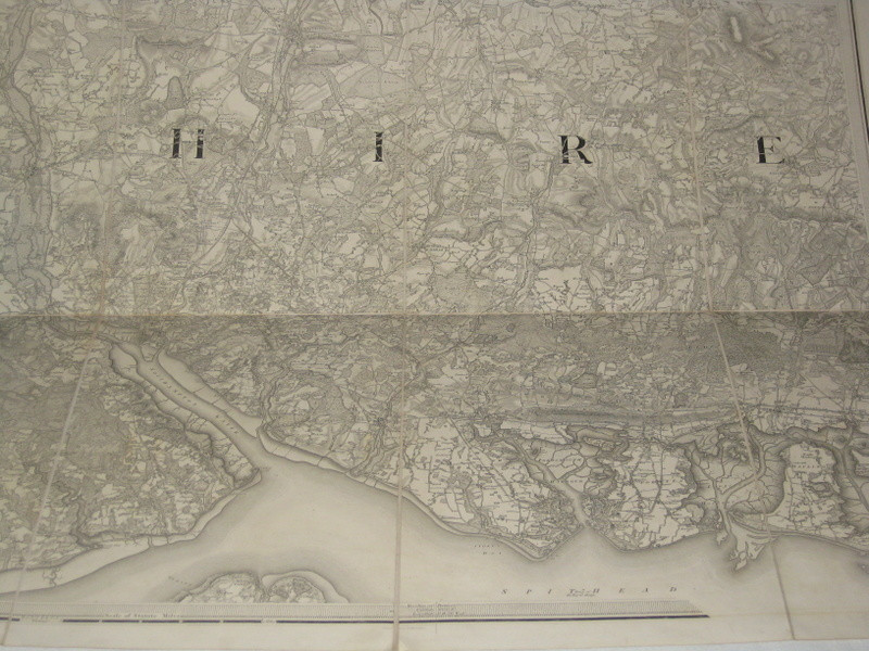
ORDNANCE SURVEY: SHEETS 11, 12, 14, 15 AND 16.


Book Description
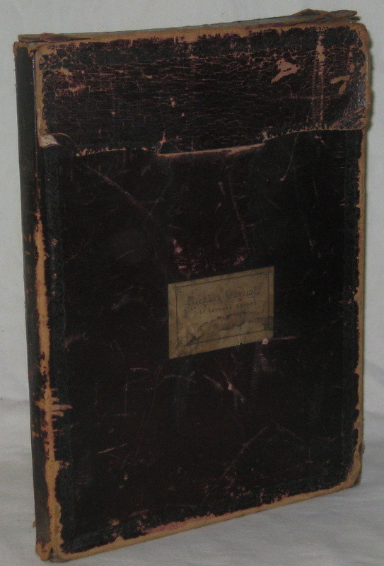
Five folding maps at one inch to one mile, laid on linen, and the outer sections backed in maroon cloth. Each one in eight sections of 13 x 9½ inches, making them 38 x 26 inches. Contained in a maroon morocco case, with the label of Richard Cutting of 7 St. George’s Square, N.W. Engraved by Benjn. Baker and Assistants, and the writing by Ebenr. Bourne. Sheet 11 was published in 1810, sheets 15 and 16 in 1811 and sheets 12 and 14 in 1817. The maps cover a substantial area of central southern England, with Melksham and Trowbridge towards the north-west, Bramshill in the north-east, Chichester Harbour in the south-east and Lulworth in the south-west.
Author
MUDGE Col. [William], THE ORDNANCE SURVEY,
Date
1810.
Publisher
London, The Tower,
Condition
The maps are in very good and clean condition, but the case is worn and rubbed, with splits to the flap.
Friends of the PBFA
For £10 get free entry to our fairs, updates from the PBFA and more.
Please email info@pbfa.org for more information


