PHILIPS COMMERCIAL MAP OF THE INDIAN EMPIRE
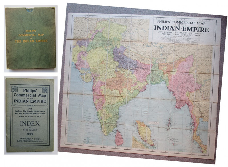




Book Description
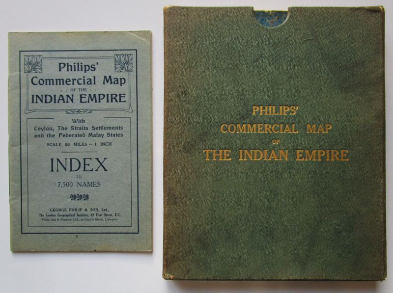
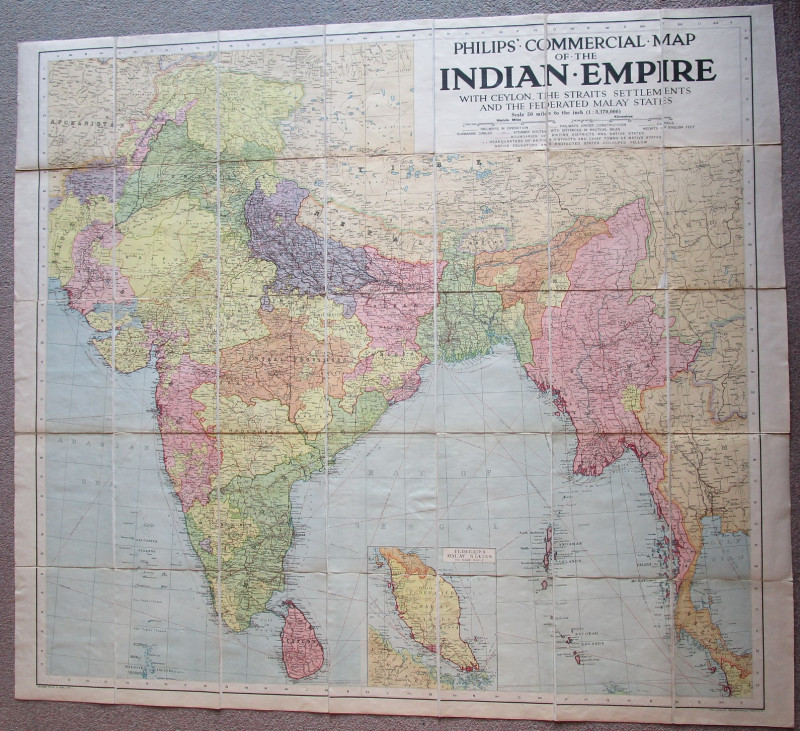
Undated, but other Commercial Maps by Philips were published in the 1920s, this is a large folding linen backed map of the Indian Empire, taking in parts of Malaysia, including Burma ( Myanmar ) and the Malay Peninsula, Ceylon ( Sri Lanka )
A large format measuring 42 inches by 47 inches approx.
Folding down into its cloth backed case measuring 10 inches by 8 inches approx.
And a separate 39 page index booklet, listing 7’500 names.
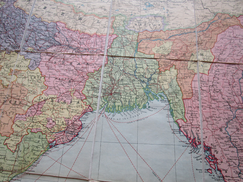
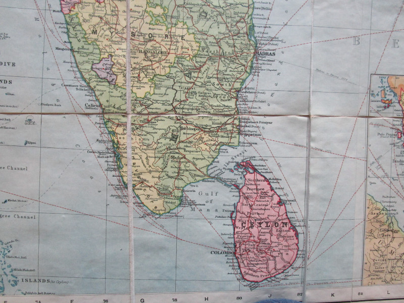
The map has some mild rubbing wear, light browning in places else in good general condition as can be seen in the pictures
Some edge wear and marking to the case
Light creasing wear to the booklet
Author
in Cloth Slipcase with accompanying 39 page index booklet, listing 7’500 place names
Binding
hardback
Publisher
George Philip & Son Ltd
Condition
GOOD
Friends of the PBFA
For £10 get free entry to our fairs, updates from the PBFA and more.
Please email info@pbfa.org for more information
