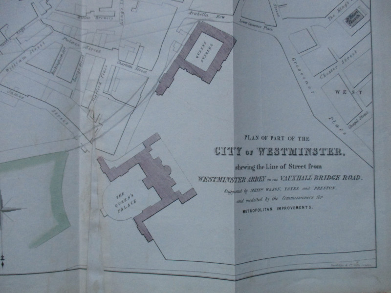
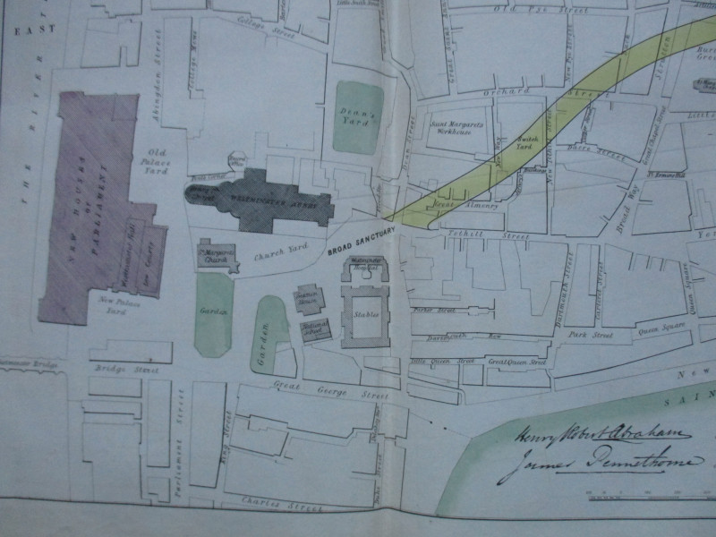
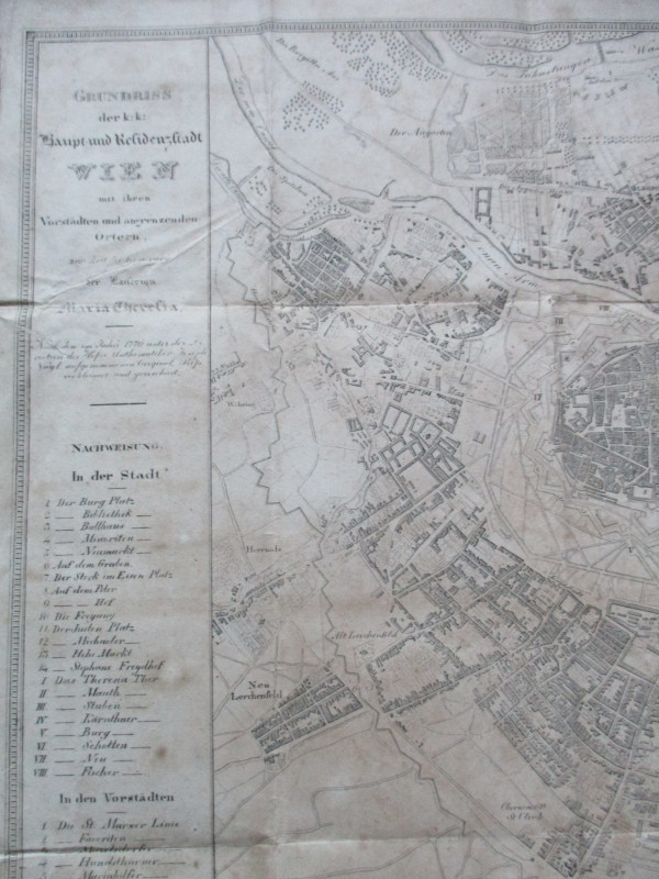
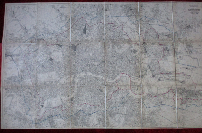
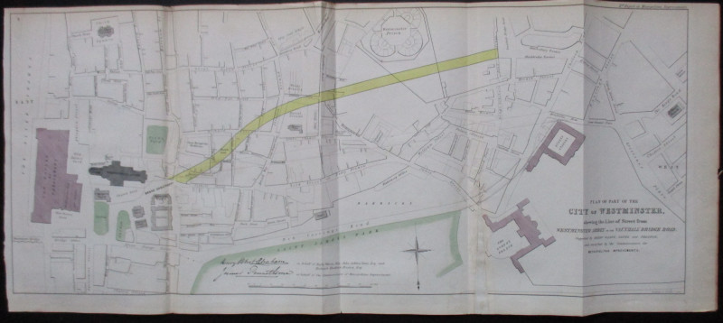
Plan of Part of the City of Westminster shewing the Line of Street from Westminster Abbey to Vauxhall Bridge Road 1845


Book Description
Plan of Part of the City of Westminster shewing the Line of Street from Westminster Abbey to Vauxhall Bridge Road, suggested by Wason, Yates and Preston and modified by the Commissioners for Metropolitan Improvements by Pennethorne and Abrahams, lithographed by Standidge and printed for the House of Commons by Hansard 1845. On paper size 77 by 33 cm. Scale 200 feet to the inch. Covers an area from the Thames and the House of Parliament to Buckingham Palace and Grosvenor Place. Includes Westminster Prison, the barracks, Westminster Abbey, Smith Square and all the streets in between. This appears to be a working copy, complete with an overprinted outline of what was to become Victoria Street and the pencilled addition of Birdcage Walk. One fold with a historical insert/repair which might be original. Some hand-colouring. Good to VG condition.
Author
Pennethorne and Abrahams
Date
1845
Publisher
Hansard
Illustrator
Standidge
Condition
VG
Friends of the PBFA
For £10 get free entry to our fairs, updates from the PBFA and more.
Please email info@pbfa.org for more information
