Railway Map of India Poster 1989


Book Description
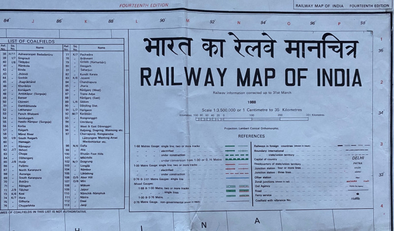
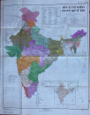
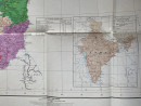
Railway Map of India published by the Survey of India 1989. A poster size map on paper, 115 by 88 cm. Scale 1;3,500,000 or 35 km to the centimetre. Full colour. With a key that contains information on 12 different gauges in use; railways in other neighbouring countries; junction stations with 4 or more lines; junction stations with 3 lines; zonal junctions etc. Inset panels have a list of the mixed gauge lines, the headquarters of Railway Zones and a colour-coded list of 113 coalfields. Another panel has a small map of roads and air routes. The map is coded 1:3,500,000 3rd edition. A detailed map in VG condition. Has been folded.
Author
Survey of India
Date
1989
Publisher
Survey of India
Condition
VG
Other books
If you liked the book you've just seen, you might be interested in other books from the same dealer below.
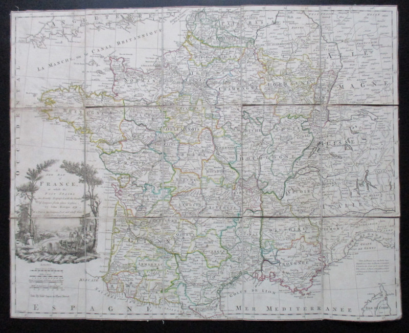
A New Map of France in which the Post Stages are E...
Rocque
Rocque and Sayer
£295.00
Offered by Arthur Hook
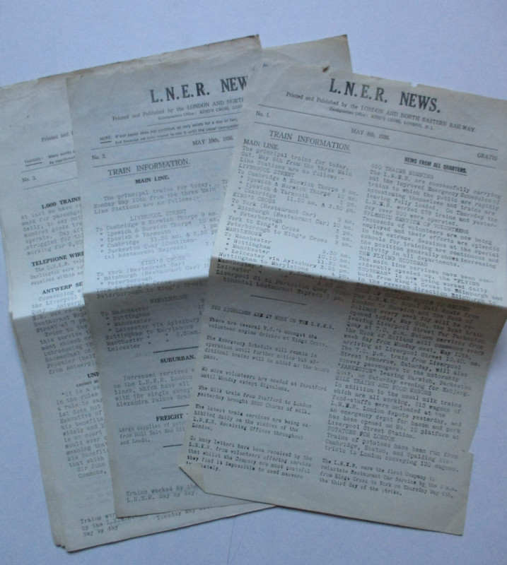
LNER General Strike Newsletter 1926
London and North Eastern Railway
London and North Eastern Railway
£50.00
Offered by Arthur Hook
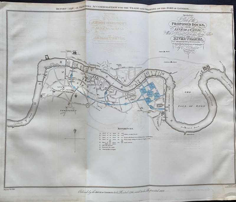
A Plan of the Proposed Docks and Line of a Canal w...
Cracklow
Hansard
£95.00
Offered by Arthur Hook
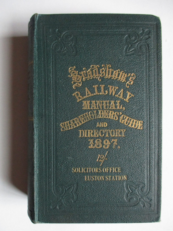
Bradshaw’s Railway Manual, Shareholders’ Guide and...
Anon
Adams and Blacklock
£85.00
Offered by Arthur Hook
The London Almanack for the Year of Christ 1841
Anon
The London Company of Stationers
£125.00
Offered by Arthur Hook
Friends of the PBFA
For £10 get free entry to our fairs, updates from the PBFA and more.
Please email info@pbfa.org for more information