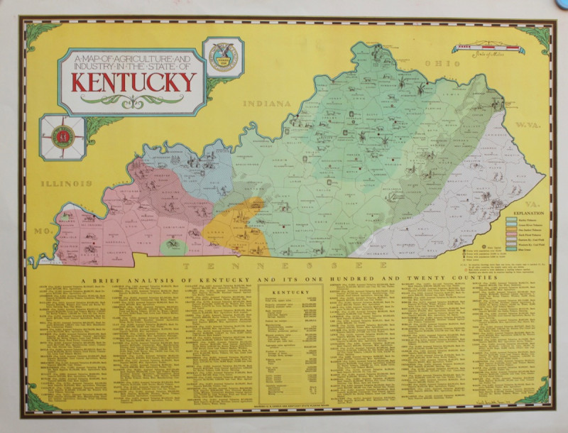
A Map of the Agriculture and Industry in the State of Kentucky.

Book Description
An attractive coloured map based on U.S. Census and Kentucky State Planning Board Information. 415 x 555 with wide margins. Fine.
Presumably issued as a give-away to customers of the bank, Smith produced a number of attractive illustrative maps of various U.S. states.
Author
KARL SMITH
Date
1935.
Publisher
Louisville, Kentucky: Liberty National Bank and Trust Co.,
Other books
If you liked the book you've just seen, you might be interested in other books from the same dealer below.


MANUSCRIPT - RUNIC CROSSES OF DERBYSHIRE
WILLIAM BEMROSE
£2250.00
Offered by Michael S Kemp Bookseller
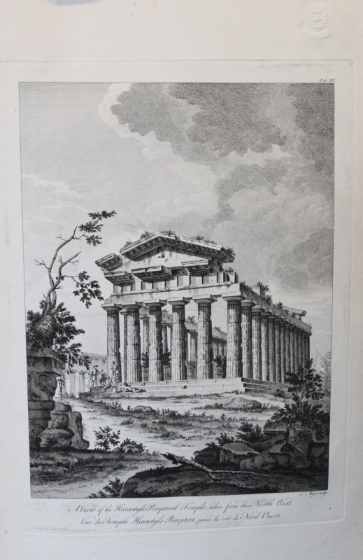
The Ruins of Paestum, Otherwise Posidonia in Magna...
Thomas MAJOR
Printed by James Dixwell for T. Major,
£3500.00
Offered by Michael S Kemp Bookseller
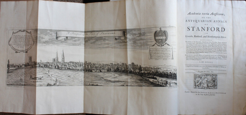
[HISTORY OF STAMFORD IN LINCOLNSHIRE] Academia Ter...
FRANCIS PECK
£1200.00
Offered by Michael S Kemp Bookseller

[DE ROMANIS, Antonio? attributed to]
EXQUISITE ARCHITECTURAL SKETCHES
£5250.00
Offered by Michael S Kemp Bookseller
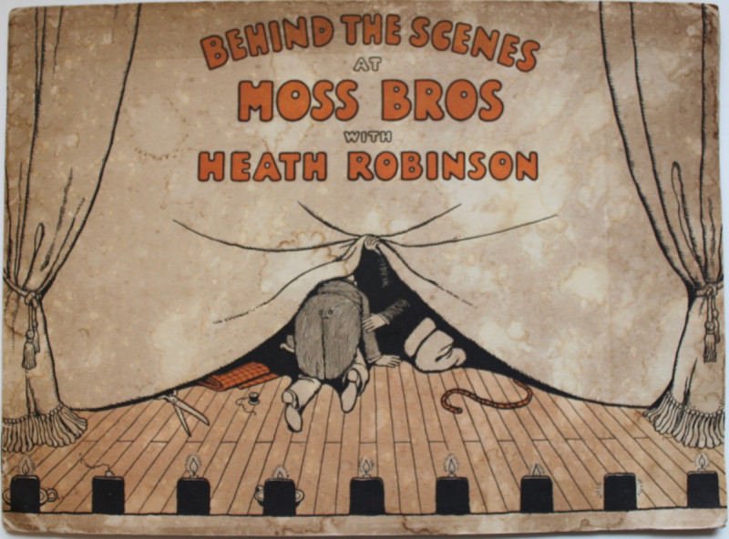
BEHIND THE SCENES AT MOSS BROS.
WILLIAM HEATH ROBINSON
Moss Bros,
£350.00
Offered by Michael S Kemp Bookseller
A Map of the Agriculture and Industry in the State...
KARL SMITH
Louisville, Kentucky: Liberty National Bank and Trust Co.,
£400.00
Offered by Michael S Kemp Bookseller
Friends of the PBFA
For £10 get free entry to our fairs, updates from the PBFA and more.
Please email info@pbfa.org for more information