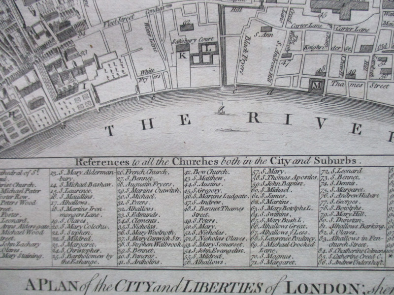
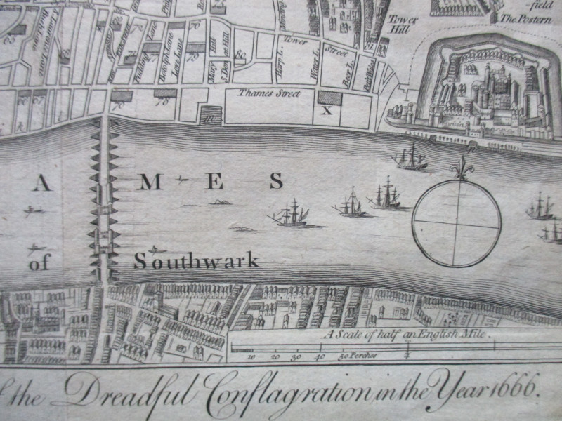
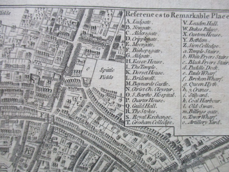
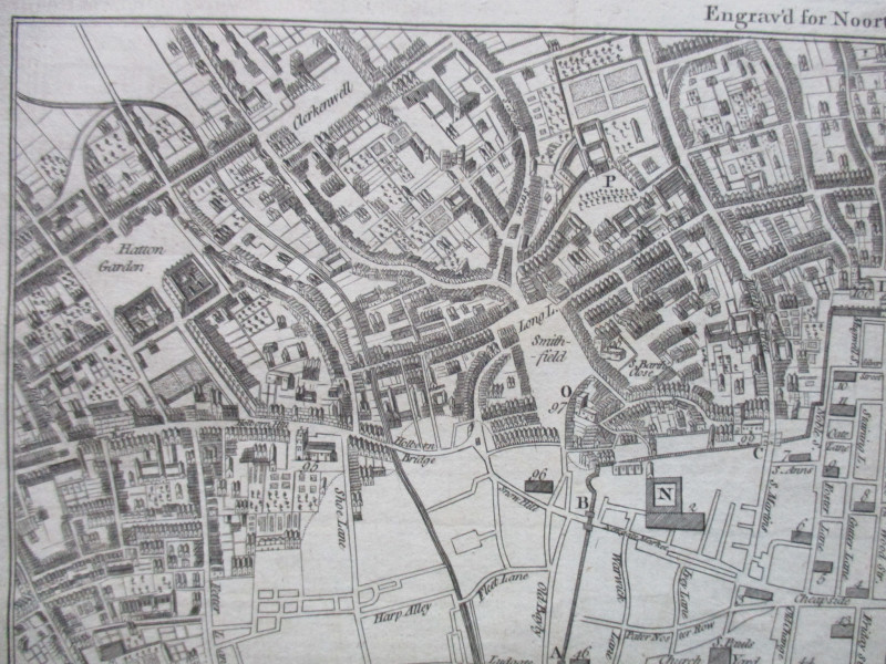
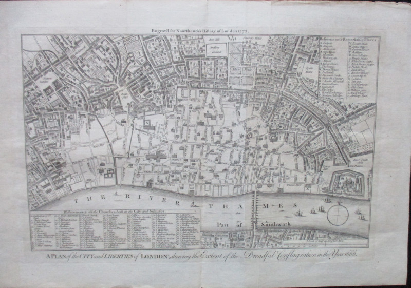
A Plan of the City and Liberties of London; shewing the Extent of the Dreadful Conflagration in the Year 1666


Book Description
A Plan of the City and Liberties of London; shewing the Extent of the Dreadful Conflagration in the Year 1666, engraved for Noorthouck’s History of London 1772. On paper which has been folded, size 41 by 27 cm, with the actual map 34 by 22 cm. Scale 50 perches to the inch, or 6 and a half inches to the mile. Top right-hand corner has a key to 40 Remarkable Places (gates, docks and wharves, public buildings etc.) and the bottom of the map has a list of 100 churches in and outside the city which are identified by a numerical key. Many streets are named. Buildings and gardens depicted in a stylised manner. Uncoloured. VG condition.
Author
Anon
Date
1772
Publisher
Noorthouck
Condition
VG
Friends of the PBFA
For £10 get free entry to our fairs, updates from the PBFA and more.
Please email info@pbfa.org for more information
