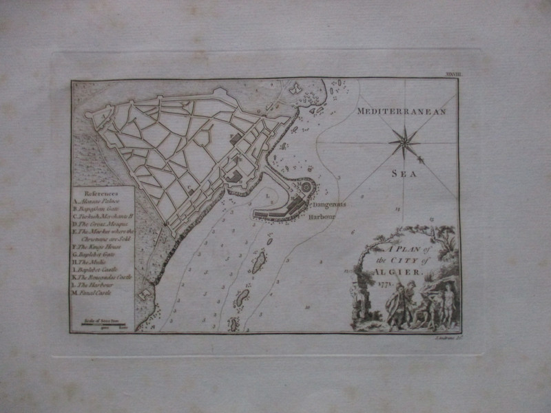
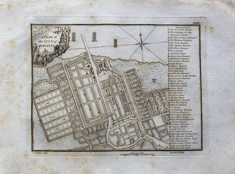
A Plan of the City of Batavia 1771

Book Description
A Plan of the City of Batavia. Engraved by John Andrews and published by John Stockdale, London 1771. On paper size 35 by 25 cm. Actual image size 24 by 18 cm. Scale approximately 1250 feet to the inch. Uncoloured. With a numbered key to 49 important features of the city including the Governor’s House, the Lodgings of the Counsels of India, the Chinese Hospital, the Spinning House, Red Cape Silvernails, various bastions and gates, and the Tayan Corpse of Guard (?). The title is contained in a decorative vignette that has images of the east. Occasional foxing outside the margins of the map but otherwise in Good condition.
Author
Andrews
Date
1771
Publisher
Stockdale
Condition
Good
Friends of the PBFA
For £10 get free entry to our fairs, updates from the PBFA and more.
Please email info@pbfa.org for more information
