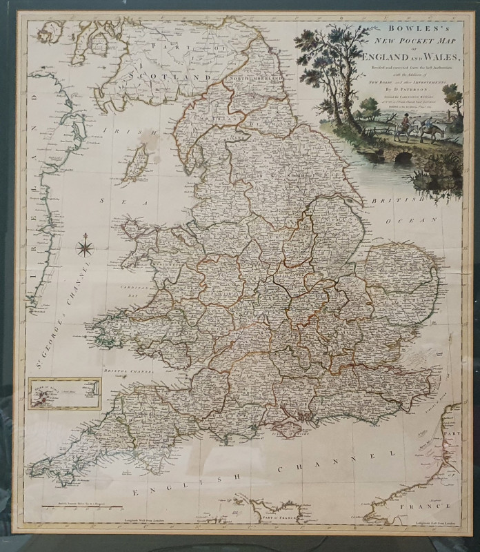
Bowles's New Pocket Map of England and Wales
Book Description
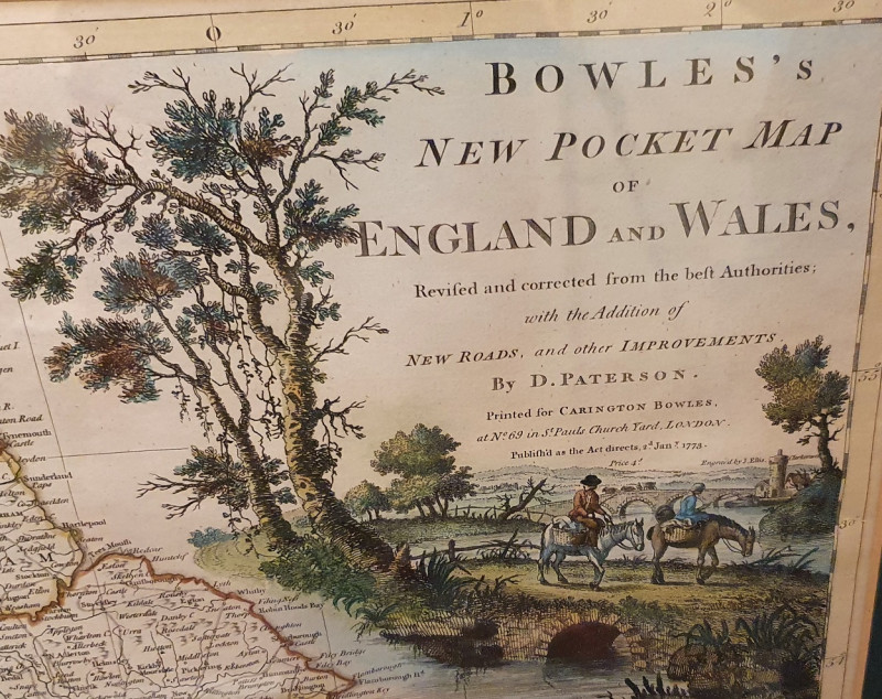
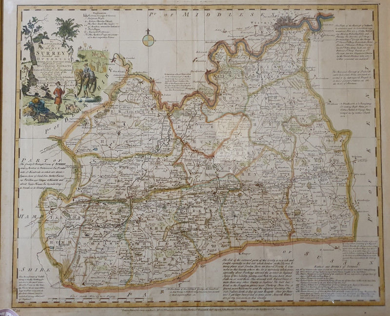
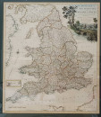
Extremely rare surviving edition of this lovely map that follows in the style and tradition of Bowles's other maps and atlases of the British Isles and counties but has the unique distinction of being specially produced as one map showing only England and Wales in this highly portable pocket-sized addition for the newly popular aristocratic pastime of travel to explore the British Isles.
Copies are highly sought after and remain the domain of dedicated collectors and significant national collections such as the British Library. This rare example pre-dates the more common but equally accomplished 'Medium Map' by more than 10 years.
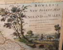
This truly lovely copy of this original copperplate engraving with delicate hand colouring particularly to mark out counties and enliven the title cartouche. This cartouche shows men on horseback crossing a bridge in a countryside setting which states "Revised and corrected from the best Authorities, with the Addition of New Roads, and other Improvements, / By D. Paterson. ; Engrav'd by J. Ellis.
Daniel Paterson, 1738-1825, cartographer. [London] : Printed for Carington Bowles, at No. 69 in St. Pauls Church Yard, London. Publish'd as the Act directs 2.d Jan.y. 1773. Price 4.s., [1773 c.]"
There is a small degree of age toning (conversant with its age and function) and a slight water stain by the Isle of Man.
Beautifully and tastefully framed and mounted.
PLEASE NOTE: All glazed and framed maps can be professionally recovered without damage should buyer prefer to purchase unframed. This will only be done upon written request.
Author
Daniel Paterson, 1738-1825, cartographer
Date
2d Jan 1773
Publisher
Carington Bowles
Illustrator
Engraved by J. Ellis. Daniel Paterson, cartographer
Condition
Excellent
Friends of the PBFA
For £10 get free entry to our fairs, updates from the PBFA and more.
Please email info@pbfa.org for more information
