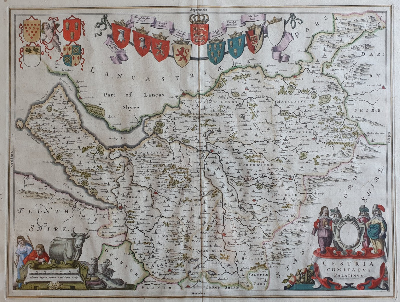
CESTRIA COMITATUS PALATINUS

Book Description
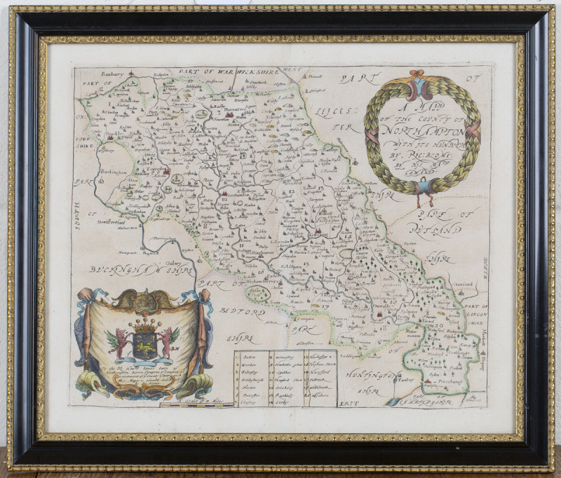
The County Palatine of Chester with Its Hundreds; Map of Cheshire. This very attractive and finely engraved 17th century map of Cheshire which was published in Joan Blaeu's Theatrum Orbis Terrarum Sive Atlas Novus (Amsterdam: Latin Text Edition, 1645-1646, 1648).
Each map is indicative of the renown skilful craftsmanship of this Dutch master mapmaker and his workshop. This map of Cheshire showcases beautiful ornamental enhancements such as a highly decorative title cartouche, and array of several coats of arms and heraldic shields and detailed calligraphy. These elements are brought to life with the addition of emblematic items from nature's bounty, produce and harvest, rural life and farming, fashionable contemporary characters and cherubs. The use of bold contemporary hand colouring make these features even more striking.
An original, antique, copper-plate engraved county map of Cheshire, printed on hand laid paper.
The map is in very good condition with excellent margins. There is very slight age toning.
It is framed displaying spacious margins and glazed both sides to show Dutch pages of original atlas verso.
(PLEASE NOTE: All glazed and framed maps can be professionally recovered without damage should buyer prefer to purchase unframed).
Author
Joan Blaeu
Date
c1645
Condition
Very Good
Friends of the PBFA
For £10 get free entry to our fairs, updates from the PBFA and more.
Please email info@pbfa.org for more information
