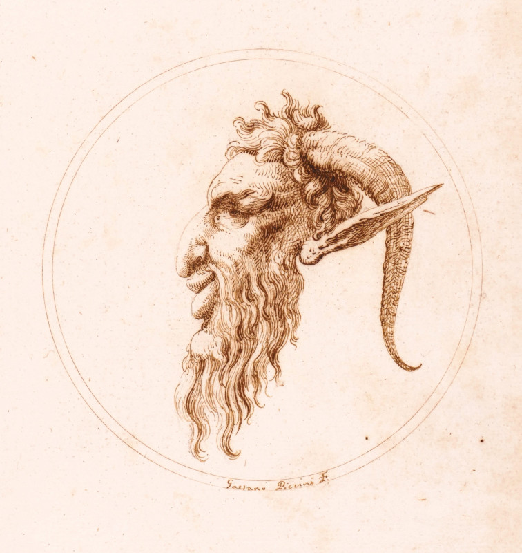
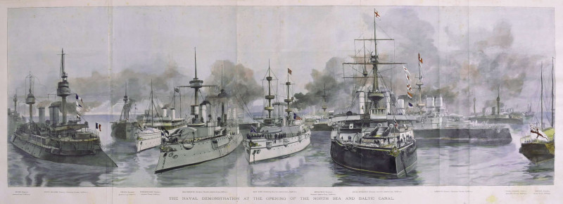
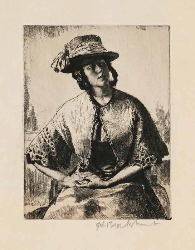
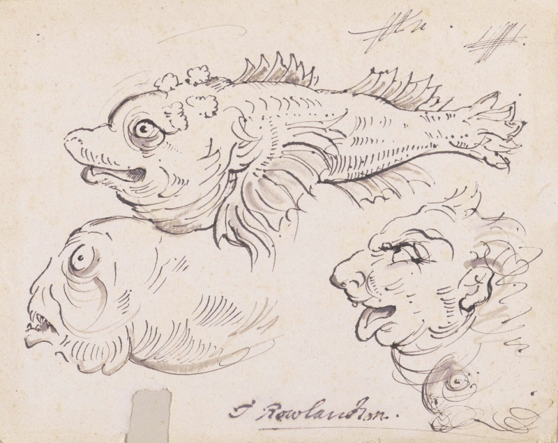
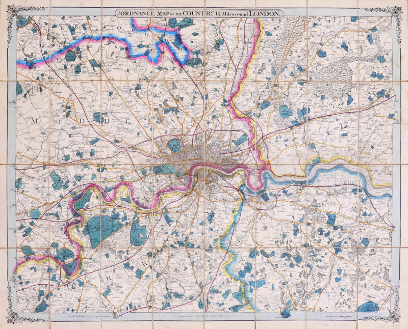
England Illustrated, or a Compendium of the Natural History, Geography, Topography and Antiquities Ecclesiastical and Civil of England and Wales with Maps of the several Counties...
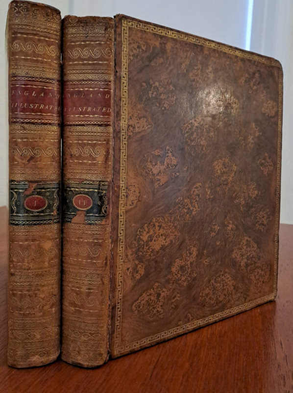


Book Description
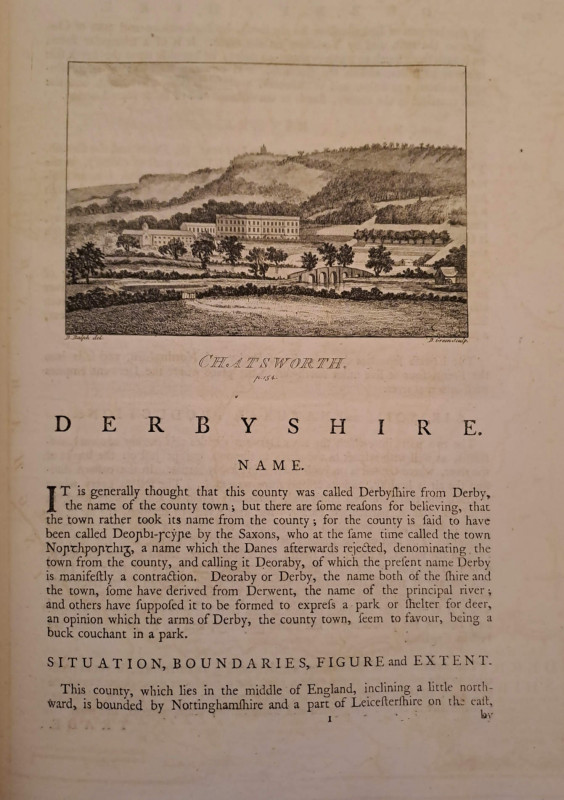
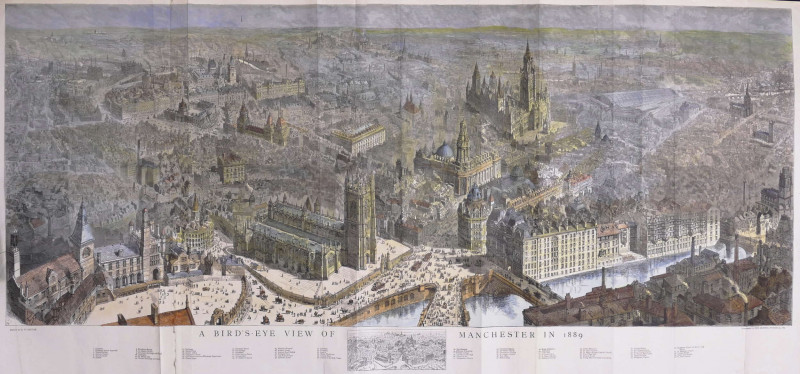
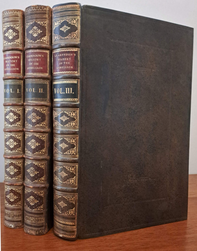
2 vols, 4to, 4 maps, including 2 folding, by Thomas Kitchin (only, of 52), 2 engraved plates (only, of 29) and 104 engraved vignettes, handsomely bound in full tree calf with gilt Greek key border to covers and decorations to spine, 1 cover detached, head of vol.II spine worn.
Author
Dodsley (R. & J., publishers)
Date
1764
Publisher
Dodsley
Friends of the PBFA
For £10 get free entry to our fairs, updates from the PBFA and more.
Please email info@pbfa.org for more information
