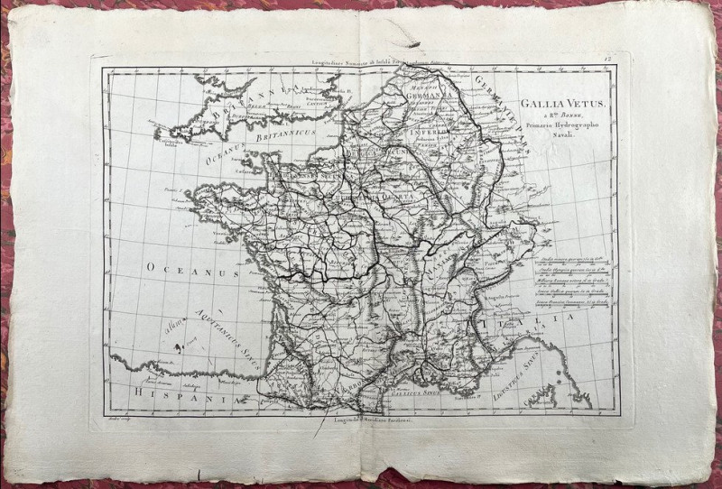
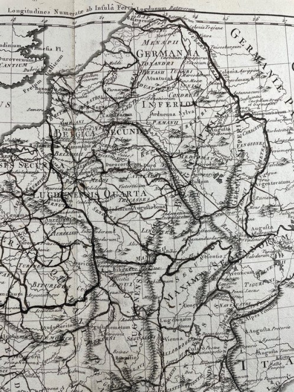
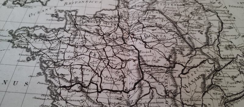
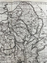
Map of France (Gallia Vetus)
Book Description
Other books
If you liked the book you've just seen, you might be interested in other books from the same dealer below.
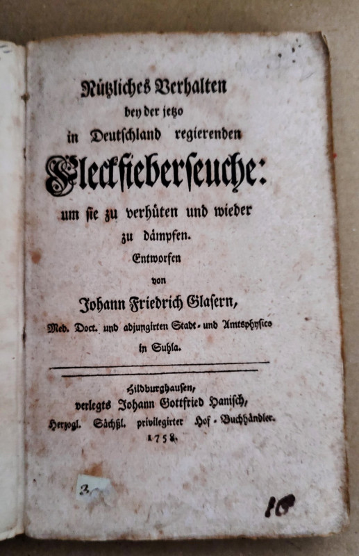
Nützliches Verhalten bey der jetzo in Deutschland...
Johann Friedrich Glaser
Johann Gottfried Hanisch, Herzogl
£150.00
Offered by Trivsel Rare Books
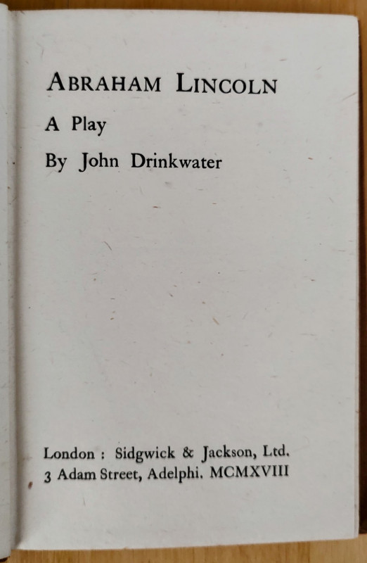
Abraham Lincoln - A play
John Drinkwater
Sidgwick & Jackson, Ltd.
£25.00
Offered by Trivsel Rare Books
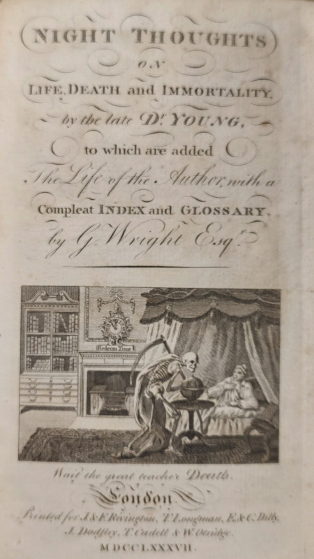
Night Thoughts on life, death, and immortality. [1...
Edward Young
J. & F. Rivington, T. Longman, E. & C. Dilly, J. Dodsley, T. Cadell & W. Otridge
£35.00
Offered by Trivsel Rare Books
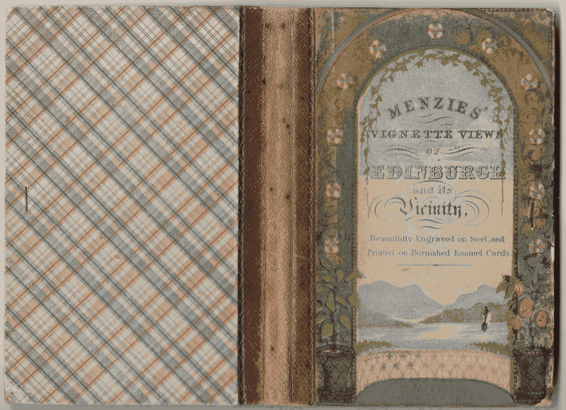
Fine Menzie’s vignette views of Edinburgh – 1860
Anonymous
J. Menzie's
£150.00
Offered by Trivsel Rare Books

Emile, ou l'education. vols. I-IV [collection comp...
J.J.Rousseau
Imprimerie de la societe litterare-typographique
£100.00
Offered by Trivsel Rare Books
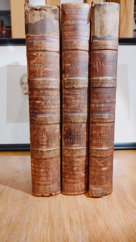
The complete works of William Shakespeare. Three V...
William Shakspere (author), illustrated
John Tallis & Company, London & New York
£120.00
Offered by Trivsel Rare Books
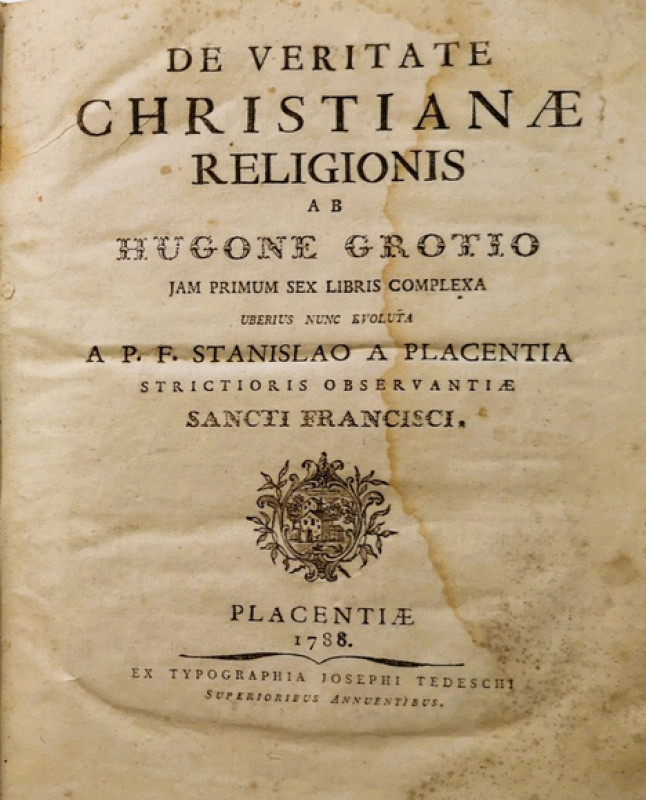
De veritate Christanae Religionis
Hugo Grotius
Ex typographia Josephi Tedeschi Superioribus Annuentibus
£150.00
Offered by Trivsel Rare Books

Allemannische Gedichte. 1851. First High German Ed...
J(ohann)P(eter) Hebel.
Reserved
Offered by Trivsel Rare Books
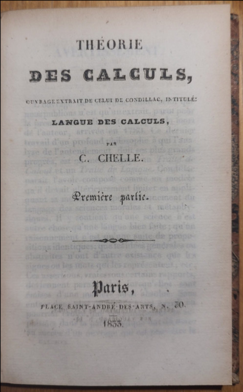
THÉORIE DES CALCULS. Biblioteque Populaire ou l'in...
Claude Charles Chelle
Impremerie de J. -L. Joly
Reserved
Offered by Trivsel Rare Books
Friends of the PBFA
Please email info@pbfa.org for more information