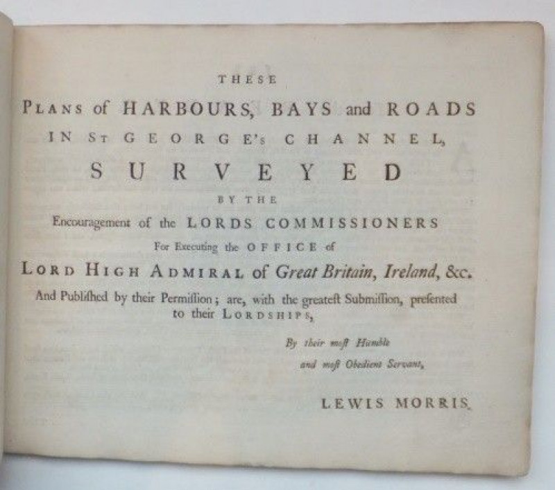
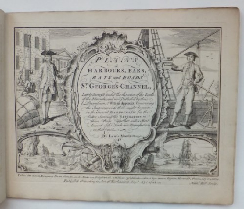
Plans of Harbours, Bars, Bays and Roads in St. George's-Channel
Book Description
1st ed, 26 plates, 1748.
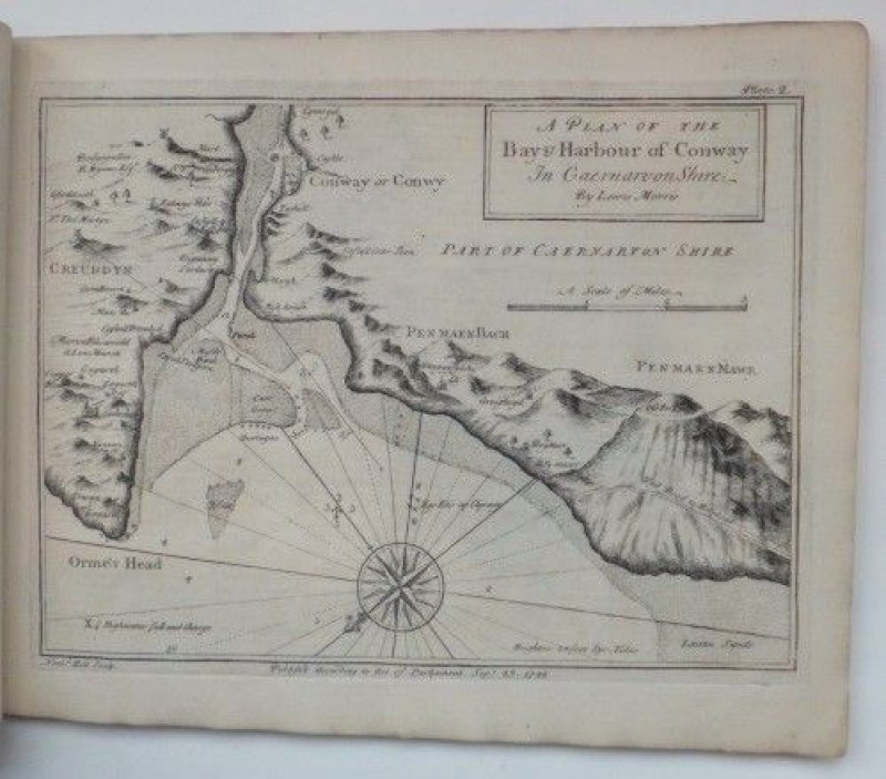
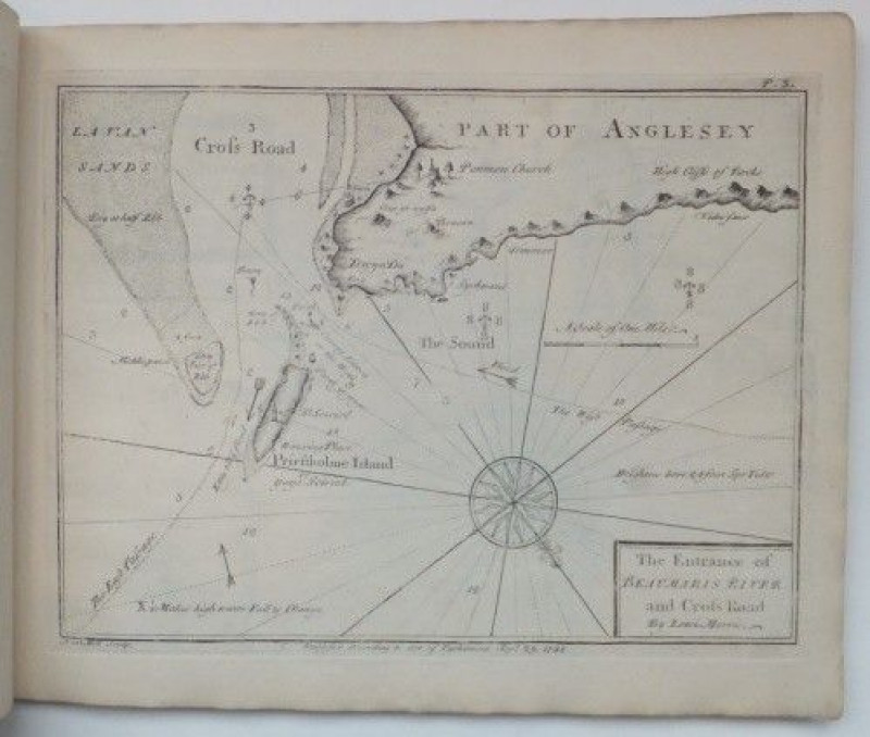
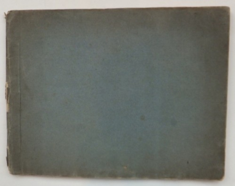
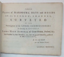
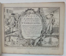
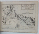
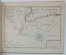
Small oblong folio, 28*21.5cm, in contemporary blue paper wraps, a little faded at edges, corners and edges lightly bumped and worn. Spine, chipped with some loss, no title. Internally, small library label to fpd, engraved title page, [2], [iv], [8] subscribers and addenda], 26 plates (2 folding, 24 charts), 20 pp Improvements, faint blind stamp on each pl, the dedication dated Feb 2, 1748, whilst all the plates are signed Sept 29, 1748, engraved by Natl Hill. Housed in a modern up and over blue cloth box. Uncommon to find in this contemporary condition.
Title continues: Lately surveyed under the direction of the Lords of the Admiralty, and now published by their permission. With an Appendix concerning the Improvements that might be made in the several Harbours, Etc. for the better securing the Navigation in these Parts. Together with a short account of the Trade and Manufacturers on that Coast.
Dealer Notes
MORRIS, (Llewelyn Ddu o Fôn), poet and scholar, who through the influence of the Meyricks upon Thomas Corbett of the navy office, he was, from 1737, employed to make a survey of some of the Welsh ports, and though this project was temporarily suspended, it was resumed in 1741 — it was in 1748 that his Plans of Harbours, Bays, and Roads in St. George's and the Bristol Channels was published (2nd ed. by his son William in 1801). See NLW WBO.
Author
MORRIS Lewis 1701-1765
Date
1748
Friends of the PBFA
For £10 get free entry to our fairs, updates from the PBFA and more.
Please email info@pbfa.org for more information
