The Large Scale County Maps of the British Isles 1596-1850, a union list
Book Description
Published by the Bodleian Library, Oxford, 1960, 1st edition. Paperback. Thin card covers with black lettering and illustration from Martyn's map of Cornwall, 1748 to front cover. 9.75ins x 6.25ins, xx, 52pp. Arranged alphabeticaally by county covering England, Wales, Islands, Scotland and Ireland. Includes index of names and index of places. VG.
Dealer Notes
stock no: 49946
Author
Rodger, Elizabeth M.
Date
1960
Binding
card covers
Publisher
Bodleian Library
Condition
VG
Other books
If you liked the book you've just seen, you might be interested in other books from the same dealer below.
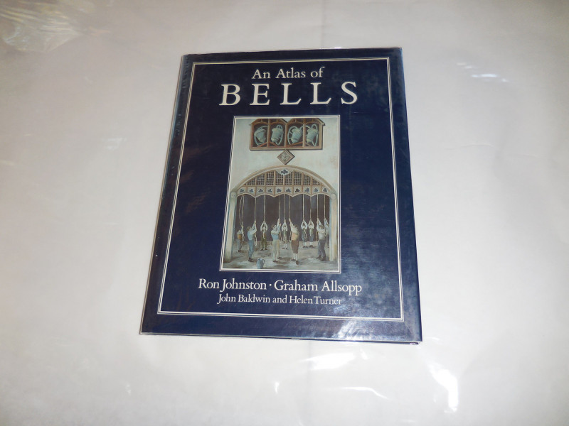
An Atlas of Bells
Johnston, R., Allsopp, G., Baldwin, J. & Turner, H.
Basil Backwell
£85.00
Offered by Missing Books
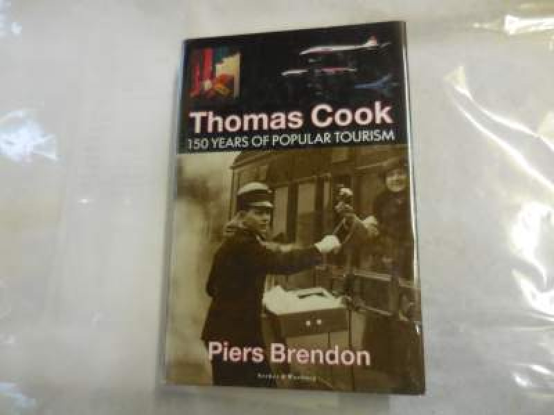
Thomas Cook - 150 years of popular tourism
Brendon, Piers
Secker & Warburg
£6.50
Offered by Missing Books
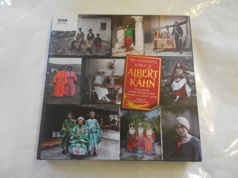
The Wonderful World of Albert Kahn - colour photog...
Okefuna, David
BBC Books
£20.00
Offered by Missing Books
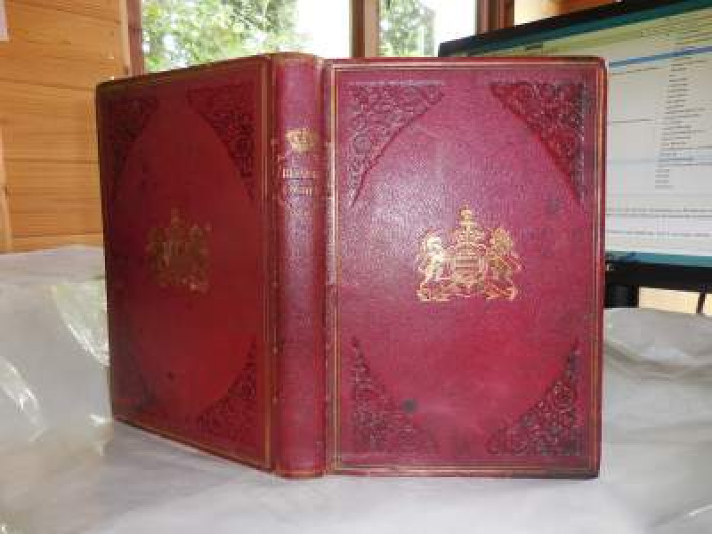
The History of Belvoir Castle, from the Norman con...
Eller, Rev. Irvin
R.Tyas, London, S.Ridge, Grantham
£150.00
Offered by Missing Books
The Large Scale County Maps of the British Isles 1...
Rodger, Elizabeth M.
Bodleian Library
£8.50
Offered by Missing Books
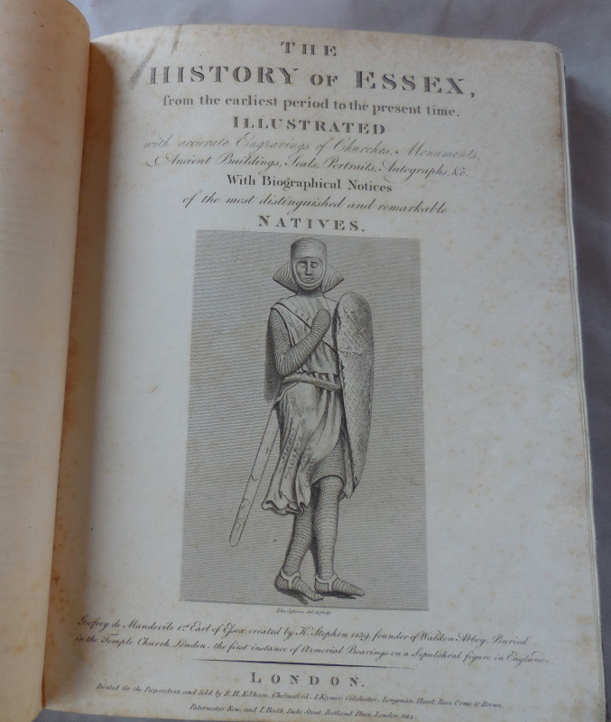
The History of Essex, from the earliest period to...
Ogborne, Elizabeth
R.H. Kelham, etc
Reserved
Offered by Missing Books
Friends of the PBFA
For £10 get free entry to our fairs, updates from the PBFA and more.
Please email info@pbfa.org for more information