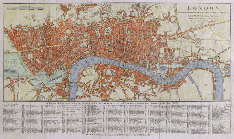
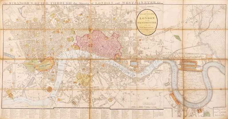
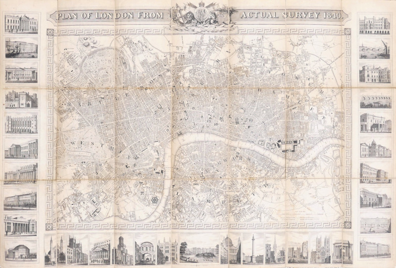
Plan of London from Actual Survey, 1840

Book Description
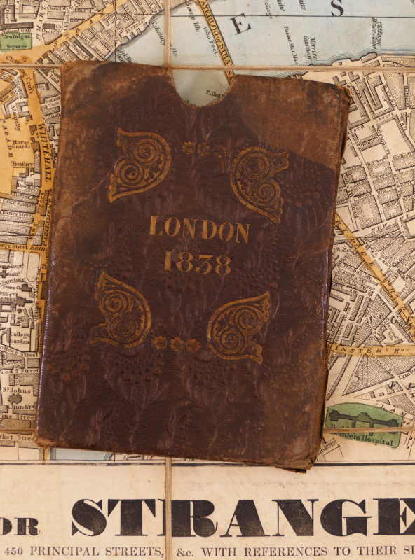
engraved map, dissected and linen-backed, pale browning, slight creasing to corners, folding into contemporary green moiré cloth boards, early owner’s inscription inside front cover, [Howgego 343 (5)]
Dealer Notes
a highly decorative plan of London and Westminster, bearing the arms of both cities in the title panel, in the upper border, and surrounded on the other three sides by 33 small views of prominent buildings, monuments and bridges, all outside a Greek key pattern border that surrounds the plan itself. It extends from Islington to Kennington, and from Hyde Park to Surrey Docks. It was first issued in 1832 under Shury’s own imprint, with three further updates before it appeared under Orlando Hodgson’s name, in 1838. Although this example conforms to Howgego’s description, a variant of the 1840 edition is known with two larger vignette views in the upper corners and fewer views to the sides
Author
Shury (John)
Date
1840
Publisher
Orlando Hodgson, London
Friends of the PBFA
For £10 get free entry to our fairs, updates from the PBFA and more.
Please email info@pbfa.org for more information
